What can Croatia expect this autumn and winter
- by croatiaweek
- in News
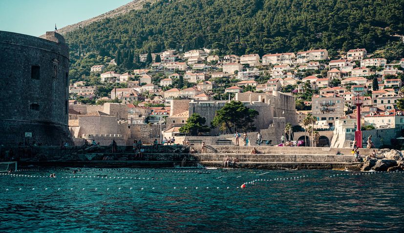
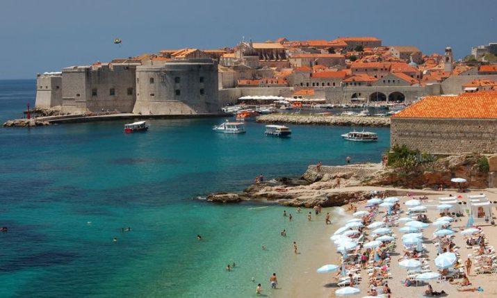
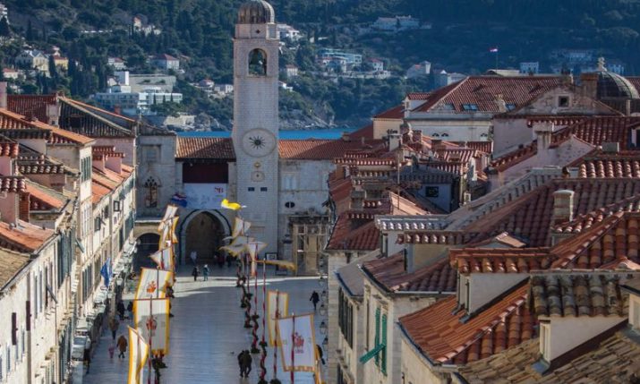
Dubrovnik
After an exceptionally warm September across Croatia, in some places even record-breaking, and with forecasts suggesting a continued likelihood of above-average warmth in October, it’s unlikely that November will bring much cold, meteorologist Zoran Vakula has told HRT.
While many have enjoyed predominantly dry, sunny, and warm weather in recent days and weeks – with relatively few rainy days in September, and mostly more sunny hours than usual for September, and with temperatures mostly exceeding not only 20°C but also 25°C, few probably thought about the exceptional nature of these meteorological conditions.
They were exceptional, at least in terms of the average monthly air temperature, which was 3 to 4°C higher in most of Croatia compared to the 1991-2020 period.
September among the warmest in history
Therefore, according to unofficial analyses, which are yet to be confirmed by climatologists from the Croatian Meteorological and Hydrological Service (DHMZ), it can almost be claimed that this September was among the top 5 warmest in most of Croatia’s recorded history, even ranking closely behind the warmest year in 2011, according to Vakula.
For example, in Gospić, where records of the average September air temperature have been kept since 1873, this year’s September ranked as the 5th warmest; in Zavižan, where measurements began in the mid-20th century, it was the 4th warmest; in Dubrovnik, Rijeka, Split, and Zagreb (Maksimir), it was the 2nd warmest; and in Osijek, it was record-breaking! Daily measurements in Osijek have been recorded since 1899, reports HRT.
At the same time, the total amount of rainfall in September was unevenly distributed, with a relatively small number of rainy days at most meteorological stations resulting in a lack of precipitation compared to the multi-year average, and only occasionally an excess, such as in Rijeka and Zagreb.
Analysis of the average air temperature at DHMZ meteorological stations from January 1 to September 30 also suggests that we are living through another year of above-average temperatures.
Furthermore, it is one of the warmest in recorded history. For instance, in Split, the average air temperature for the year so far ranks as the 5th highest, 4th in Zavižan, 2nd in Dubrovnik, Gospić, Rijeka, and Zagreb (Maksimir), and 1st in Osijek – a record! It’s even higher than the previous record from 2007, which was the warmest in most of Croatia in the first 9 months.
The current part of the year is not only specific in terms of air temperature in some places. For example, at the DHMZ station in Zagreb Maksimir, the total amount of precipitation is the 2nd highest since 1949, when measurements at that station began. According to unofficial data, 938 mm or liters per square meter have been recorded, just behind the record of 1035 mm from January to the end of September 2014.
What to expect in October
Short-term forecasts for October indicate a continuation of the “September” weather for the next week. Moreover, according to the long-term forecast for the next 4 weeks, there is a fairly low probability that any of the weeks will be colder than average. In other words, the likelihood of prolonged cold or a period of below-average temperatures in October is low.
Also, in the first two weeks of October, there is a low probability of significant rainfall, or in other words, rain is likely to continue to be relatively rare or even absent until mid-October. In the latter part of October, the probability of total weekly rainfall around or above average increases, especially in the coastal regions and areas nearby.
November might also pass without significant cold
The reliability of long-term forecasts for November is lower than for October, but it may still be interesting to mention that the forecasts remain consistent, indicating an increased probability of another above-average warm month in November. This means that November is unlikely to bring significant cold, i.e., a prolonged period of cold unusual for the last autumn month.
In this case, the total amount of rainfall in November, if current but not overly reliable forecasts are met, will be around or even above average in most of Croatia.
What the winter will be like
Forecasts for winter, or the period of December – January – February, suggest an increased probability of average seasonal air temperatures, mostly slightly higher. However, it’s interesting to note that the values of deviation from the average and the likelihood of this deviation occurring are much lower compared to those for autumn. In other words, winter is likely to be more in line with an average winter than autumn is with an average autumn.
Moreover, there is an increased probability of total seasonal precipitation in most of Croatia being at least slightly above average.
If this comes true – average temperatures and excess precipitation – it raises the hopes of many for snow, says Vakula, adding that this is less likely for December, for which there is still a relatively high probability of a positive deviation in the average monthly air temperature, and more likely for February and especially January.
However, Vakula emphasizes that deviations vary from place to place, and despite wishes, long-term forecasts still have many limitations, and errors are not uncommon.