Unknown underwater structures near islands of Lastovo, Mljet and Vis discovered
- by croatiaweek
- in News
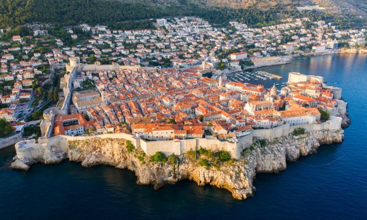
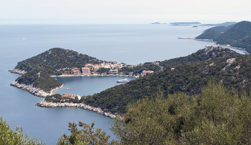
Mljet
Croatia has successfully mapped 51% of the Adriatic Sea, revealing previously unknown honeycomb-like structures near the islands of Lastovo, Mljet, and Vis, Morski HR has reported.
The map, the first of its kind in the Mediterranean, covers an area of 28,000 square kilometres up to a depth of 40 meters.
The project, led by the Ministry of Economy and Sustainable Development of the Republic of Croatia, involved over 200 experts and signifies a significant step in the protection and preservation of the Adriatic Sea.
The mapping project, titled “Mapping Coastal and Submarine Habitats in the Adriatic Sea Under National Jurisdiction,” concluded last week with a ceremonial launch at the Institute of Oceanography and Fisheries in Split.
The initiative, spanning 51% of the Adriatic Sea, not only marks the end of one of the most ambitious mapping initiatives but also inaugurates a new era in safeguarding this vital economic and natural resource.
The data collected will be instrumental in integrated spatial planning at sea, promoting sustainable fishing, tourism, and other marine-related activities. The project, co-funded by the European Union at 85%, aims to enhance our understanding of the underwater environment for better conservation and sustainable utilisation of the Adriatic Sea’s natural assets.
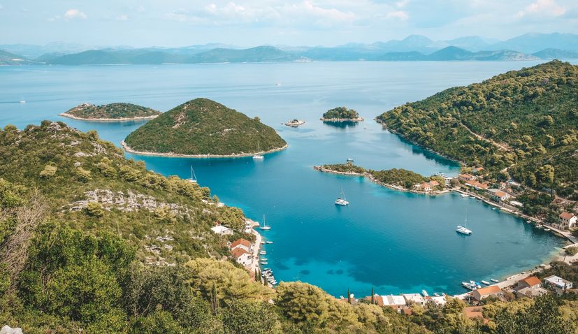
Lastovo
The detailed mapping revealed precise information, making it the most comprehensive map of its kind in the Mediterranean, covering over 28,000 square kilometres. Notable findings include accurate data on Posidonia meadows, with the updated map indicating a significant reduction in their estimated size from 120,000 to around 40,000 hectares.
Remarkably, the mapping discovered intriguing structures, approximately 20 meters in diameter, resembling beehive cells, around Lastovo, Mljet, and Vis. These structures prompt plans for a spring expedition to explore them further. Geologists also identified ancient paleochannels of rivers, offering potential for years of research based on the collected data.
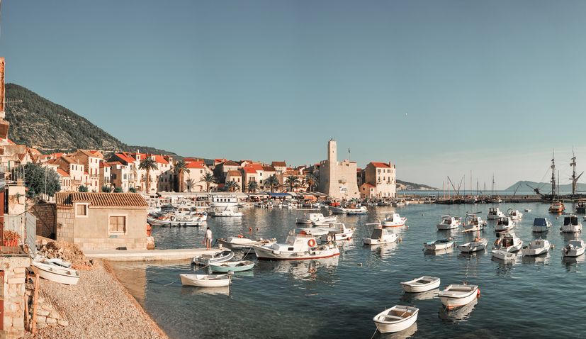
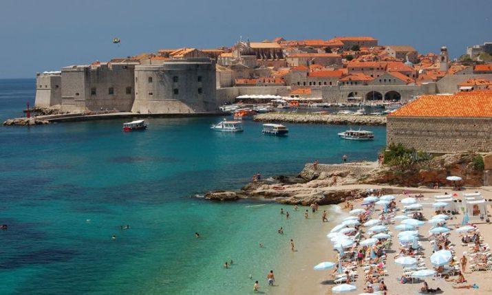
Island of Vis
The map, publicly accessible through the Bioportal, marks a milestone in marine exploration and environmental protection, providing valuable insights into the Adriatic Sea’s diverse ecosystems and geological features.
The map is available here.